
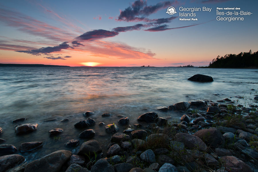
Georgian Bay Islands National Park was established in 1929 and contains 63 small islands. The total park area is about 13 km2. Flowerpot Island was a part of the park before it was created. The exposed rocks and pines of the Canadian Shield are blended with the hardwood forests found further south. The biggest island in the park, Beausoleil Island, has limited camping facilities. It is part of a nature reserve.
Georgian Bay is a popular destination because of its back-country scenery, vistas and accessibility. The biggest island in the park is Beausoleil, with facilities that include docks, campsites, and 8 rustic cabins.
Beausoleil has a network of 11 well-marked and groomed trails that range from wheelchair-accessible walking paths to more difficult scrambles across the Precambrian rock of the Canadian Shield. As far back as 7,000 years ago, Natives first used the island as a base for hunting and trading.
The southeast side of Beausoleil hosts evidence of a 19th-century Ojibway village that was abandoned when the quality of the island was poor. Beausoleil’s ridges were perfect for settlement, even though they proved too rugged to work. The Georgian Bay cottage boom that occurred in the early 1900s surrounds the park on all sides.
Wildlife
There are mammals in the area such as woodland caribou, white-tailed deer, moose, black bear, coyote, timber wolf, and bobcat. The hognose snake, the eastern fox snake, and the threatened eastern Massasauga rattlesnake are some of the reptile and amphibian species that can be found in this park. The early 1900s saw the emergence of colonies of gulls and terns on some of the more isolated islands in the park.
Georgian Bay Islands National Park Map
georgian bay islands map
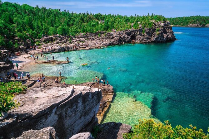
Georgian Bay Islands are a group of islands that surround the Georgian Bay. These islands offer an abundance of hiking trails, beaches, and scenic views. One popular way to explore these islands is by kayak or boat tour. If you are looking for things to do this summer in Ontario, Canada then make sure to check out the map below!

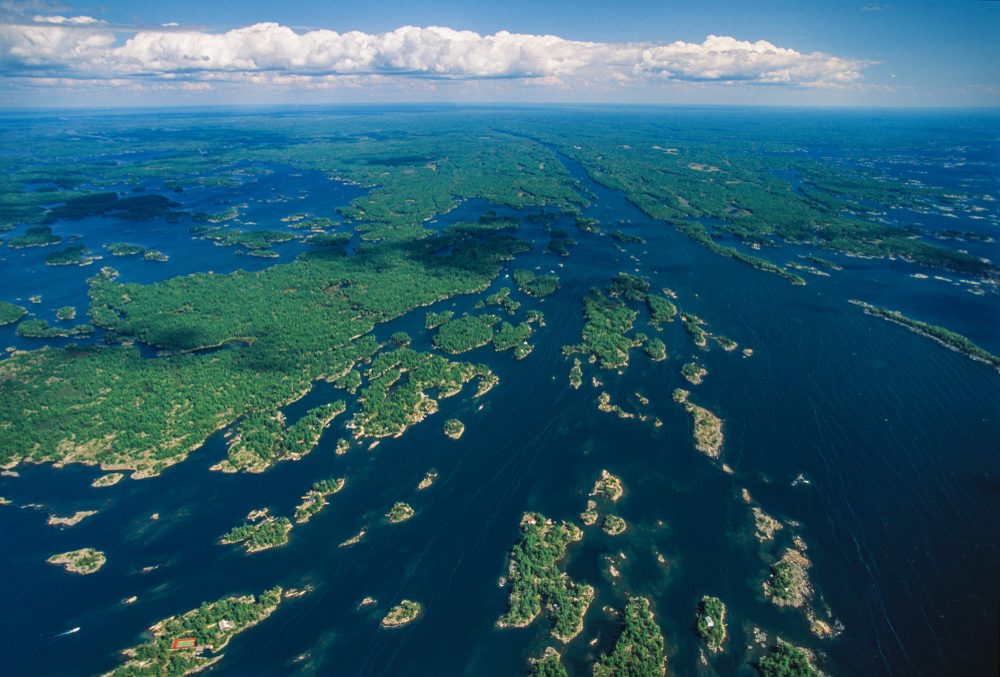
The Georgian Bay Islands are located in the heart of Georgian Bay, Ontario. The six islands are all part of the larger 36 island archipelago that is also known as the Thirty-Six Island Archipelago. Visitors will find several campgrounds on each island where you can pitch a tent and spend time enjoying one of these beautiful natural areas.


georgian bay islands national park camping
There are campgrounds on the eastern shores of Georgian Bay. The Parks Canada treasure can be accessed from the town of Honey Harbour, which is 2 hours north of Toronto and 1 hour west of the town of Gravenhurst. The Georgian Bay Islands National Park border is easy to get to, but it is made up of islands. Access to a boat is required for visiting the Georgian Bay camping site. There is a restaurant and grocery store across the road from the marina. There are many shopping spots along the shores of Georgian Bay. It’s a good place to stock up on last minute camping supplies, and the prices are reasonable.
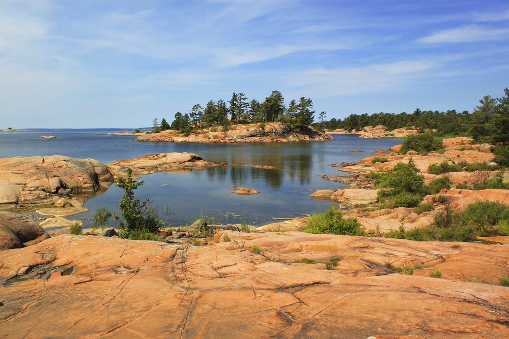
Georgian Bay Islands National Park contains 63 islands on the south-eastern corner or Georgian Bay in Ontario. The islands are popular due to their white pines, rock faces and wide water expanses. The brush strokes of Canada’s Group of Seven have made the region famous. The Group of Seven drew inspiration from Canada’s most spectacular landscapes to help carve out the country’s national identity.
Refarences :
Leave a Reply